Leseempfehlungen
Buchempfehlungen
Bücher, die uns zum Thema nachhaltige Möbel und bewussten Konsum empfehlenswert erscheinen.

FSC, PEFC & Co. – Holzsiegel verständlich erklärt
Ein kompakter Leitfaden durch den Zertifikatsdschungel: Was bedeuten FSC, PEFC, Blauer Engel und OEKO-TEX in der Praxis? Woran erkenne ich glaubwürdige Siegel? Für Verbraucher, die beim Möbelkauf keine Greenwashing-Falle tappen wollen.
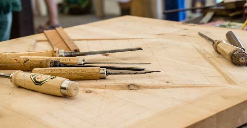
Holzverbindungen – Das Handbuch
Über 100 klassische und moderne Holzverbindungen in Schritt-für-Schritt-Anleitungen mit Zeichnungen. Von der einfachen Überblattung bis zum Schwalbenschwanz – das Standardwerk für Tischler und ambitionierte Heimwerker.
Massivholz-Oberflächen behandeln und pflegen
Alles über Öle, Wachse, Hartwachsöle und Laugen für Massivholzmöbel. Das Buch erklärt Unterschiede zwischen natürlichen und synthetischen Produkten, zeigt Anwendungstechniken und gibt konkrete Pflegeanleitungen für Eiche, Buche, Kiefer und Nuss.

Nachhaltiges Wohnen – Von der Idee zur Praxis
Wie richtet man ein Zuhause ein, das gut aussieht und der Umwelt nicht schadet? Dieses Buch führt durch die wichtigsten Entscheidungen beim Möbelkauf, von Materialien und Zertifikaten bis zu regionalen Anbietern und Second-Hand-Quellen.

Skandinavisch Wohnen – Holz, Licht und Stille
Einrichtungsinspirations aus Norwegen, Schweden und Dänemark: Massivholzmöbel, natürliche Textilien und klare Formen. Das Buch stellt Handwerksbetriebe und Designer vor, die nach skandinavischer Philosophie arbeiten – zeitlos statt modisch.
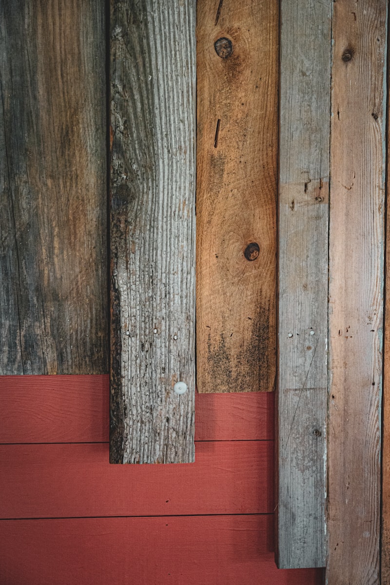
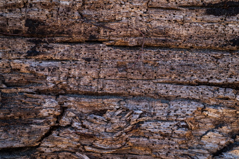
Upcycling-Möbel selbst bauen
24 Projekte für Möbel aus Altholz, Europaletten und Fundstücken. Mit Material- und Werkzeugkunde, Tipps zur Oberflächenbehandlung mit Naturölen und Wachsen sowie Bezugsquellen für Altholz.